If you are considering living in Wollongong, this page explains the main housing, transport, school and service questions across the Wollongong local government area.
A coastal city south of Sydney
Wollongong is a coastal city south of Sydney. Wollongong City Council administers the wider Wollongong local government area (LGA), which includes the city centre, northern suburbs, western foothills and southern coastal communities. Where you live within the LGA affects travel times, access to services and housing choices.
The 2021 Census recorded 214,564 people in the Wollongong LGA, with a median age of 39. These figures cover the whole council area in 2021. They are not a current population estimate or a count of the city centre.
When choosing where to live, weigh your budget against regular destinations and daily needs. Wollongong City Council runs services including libraries, waste collection, parks and recreation facilities. NSW agencies run public schools and public hospitals. The Australian Government provides income support and other federal services.
Wollongong has warm summers and mild winters. Long-term averages at the Bureau of Meteorology’s Wollongong University station show mean maximum temperatures of 25.6°C in January and February and 17.0°C in July. Average annual rainfall is 1,348.6 mm. July is the driest month on average, with 63.4 mm of rain. These figures describe long-term conditions at one weather station, and conditions vary across the LGA. See the Bureau of Meteorology forecast for Wollongong for current conditions and forecasts.
Housing across the LGA
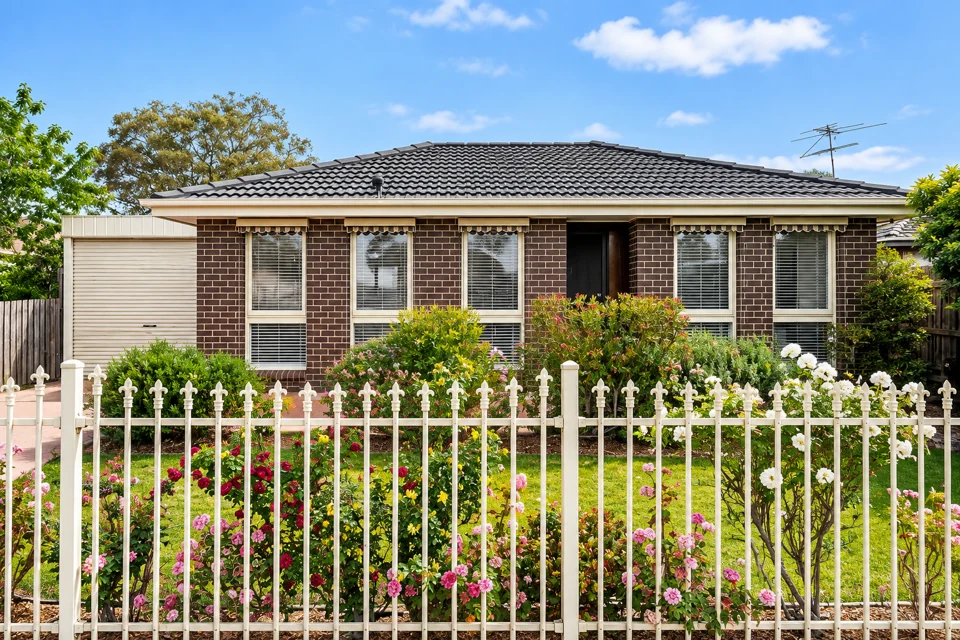
Housing ranges from apartments near central Wollongong to detached houses in suburban and smaller coastal communities. Compare suburbs against your budget and regular destinations. Distance from the beach or shops does not show how long a commute, school run or medical appointment will take.
Rental listings, sale prices and available homes change over time. Check current listings before committing to a property.
Transport in Wollongong
Wollongong railway station is on the South Coast Line, which connects the city with Sydney and towns along the South Coast. Local buses serve the city and surrounding suburbs, but routes and service frequency vary.
Check Transport for NSW timetables for the trips you expect to make, especially outside peak periods. A car is useful in areas beyond frequent bus routes, including parts of the wider LGA.
Schools and local services
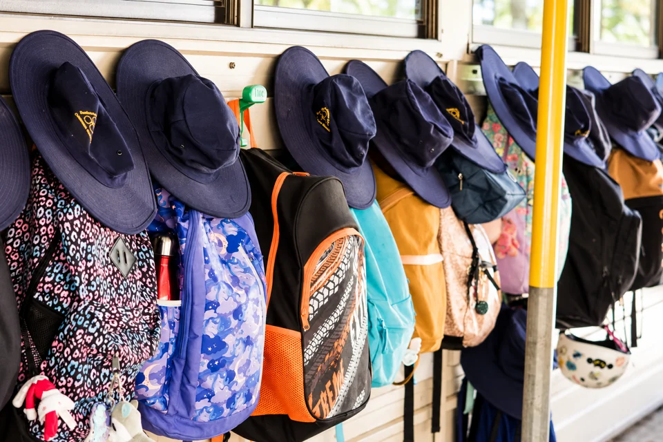
NSW public-school enrolment depends on a school’s designated intake area and available places. Use the NSW Department of Education school finder to identify nearby schools, then contact the school about enrolment requirements and vacancies.
Health services include those provided through the Illawarra Shoalhaven Local Health District. Wollongong City Council manages local services including waste collection, parks and libraries. It also manages many community facilities.
Who Wollongong suits
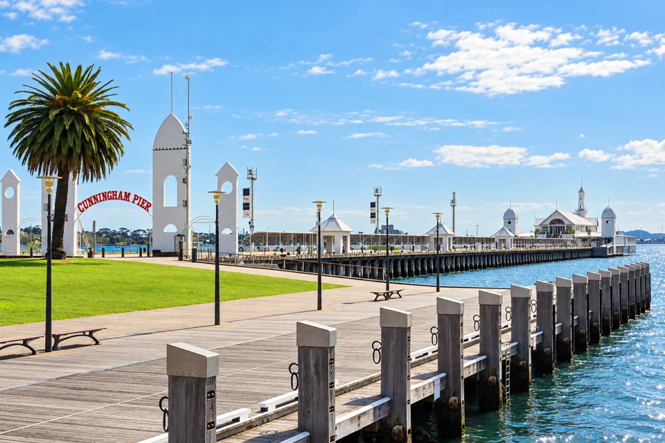
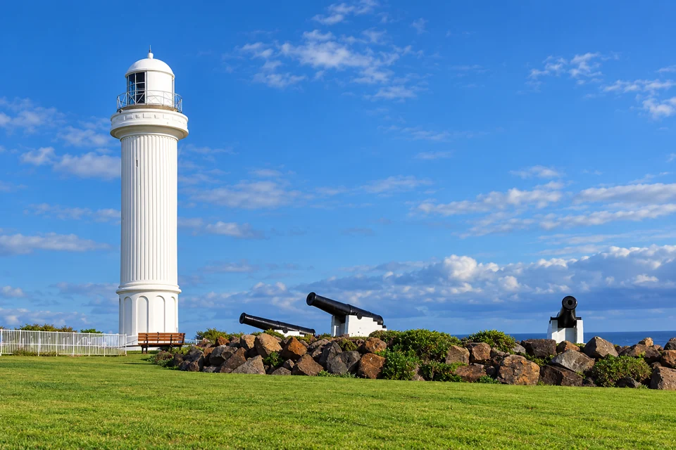
Wollongong suits people seeking a coastal location with city services when their chosen suburb fits their budget and daily travel needs. It also suits visitors interested in beaches and local attractions, and residents who need access to Sydney or the wider Illawarra.
Check housing, transport and school arrangements for the specific suburb before deciding. Daily life differs across the LGA.
Housing costs and choices
Separate houses made up 68.4% of occupied private dwellings in the Wollongong LGA in 2021, while flats and apartments made up 18.5%. Housing costs and choices therefore vary between suburbs and dwelling types.
The 2021 Census recorded a median weekly rent of AUD $390, a median monthly mortgage repayment of AUD $2,167 and median weekly household income of AUD $1,682 across the Wollongong LGA. It also found that 37.1% of renter households spent more than 30% of household income on rent, a common measure of rental affordability pressure.
These figures provide a 2021 baseline. They do not show current advertised rents, sale prices, mortgage repayments or household incomes. For more recent local indicators, use Wollongong City Council’s demographic resources, including its Housing Monitor. Give more weight to a market figure that identifies its measurement period, geographic area and source.
Compare each property by its rent or purchase price, condition, and the time and cost of travel to work, study and regular services. Coastal, central and outer suburbs have different housing stock, transport links and travel times. Lower rent or a lower purchase price may involve a longer or less convenient trip.
For local services and facilities, start with Wollongong City Council. NSW Government agencies run public schools and public transport, while the Australian Government administers federal services. Check which level of government is responsible before seeking help.
Getting around the Illawarra
Rail, buses and cars suit different journeys across the Wollongong LGA. The South Coast Line connects Wollongong with Sydney and towns south of the city. Bus services link suburbs with centres including Wollongong CBD, hospitals, schools and shopping precincts.
Before choosing a home or job location, check the door-to-door trip between the address and the places you visit regularly. Use the NSW Government’s public transport information to plan journeys and check Opal fares and concessions. It also lists timetables, school travel and service alerts. Check the fare that applies on the day of travel because fares and eligibility conditions change.
In the 2021 Census, 48.3% of employed Wollongong LGA residents travelled to work as a car driver, while 2.1% used public transport. The figures describe travel on Census day in 2021, rather than current service frequency, reliability or travel times.
A regular trip to Sydney depends on the starting suburb, workplace location and connections between buses, trains, walking and driving. An address near a station may suit a frequent rail commute. Other locations may favour driving, buses or a mix of transport modes. For road trips, use Live Traffic NSW for current crashes, roadworks and closures rather than relying on a standard travel-time estimate.
Wollongong suits people whose regular destinations align with available rail or bus services, and people prepared to drive for part of the week. The practical fit depends on the address, housing budget and weekly travel needs.
Choosing a school
Families considering a NSW public school should start with the Department of Education’s enrolment information. Use School Finder to enter your home address and identify the local public schools. Then contact the relevant school to confirm its enrolment requirements and whether it has a place available. A School Finder result identifies the school linked to an address; it does not confirm enrolment.
For a Catholic or independent school, ask the school or its education sector about admission criteria, fees and available places. NSW public-school catchments do not determine admission to Catholic or independent schools.
The 2021 Census found that 19.5% of Wollongong LGA residents attending an educational institution were enrolled in university or other higher education. This historical figure does not show which courses are currently available.