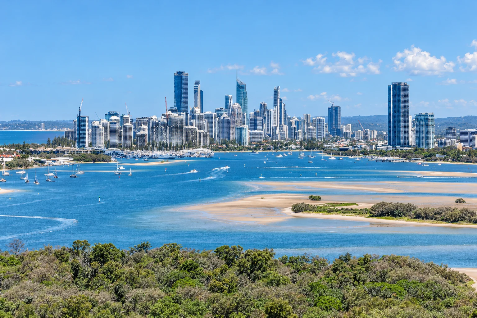
If you are considering a visit, move or longer stay on the Gold Coast, treat it as a large urban area stretching from the coast into the hinterland rather than as a single beachfront destination. It lies south of Brisbane, with major centres along the coast and inland. Your address will shape your daily travel, access to services, and commute to work or study.
The 2021 Census counted 640,778 people in the City of Gold Coast local government area, and the ABS estimated its population at 681,214 on 30 June 2024. Both figures use the City of Gold Coast council boundary. The wider Gold Coast–Tweed Heads urban area crosses the Queensland–New South Wales border and covers a different population area.
Migration Queensland’s Gold Coast and Hinterland profile identifies Southport, Surfers Paradise, Robina and Upper Coomera as urban centres, with Southport as the central business district. It lists tourism, construction, health, knowledge-based industries, information and communication technology, advanced manufacturing, education, and professional services as regional industry sectors. These sectors describe the local economy, not current vacancies or pay levels.
Families should check the Queensland Department of Education’s school catchment map for each address under consideration. Contact the school to confirm its enrolment arrangements and available places. Catchment boundaries and capacity vary by school and address, so check both before committing to a home.
How the suburbs differ
The Gold Coast’s coastal, central and inland suburbs create different travel patterns. Southport, Surfers Paradise, Robina and Upper Coomera serve different parts of the urban area, and a city-wide description will not show whether a particular address suits your routine.
Compare each address with the places you need to reach: work or study, shops, schools, the beach, and public transport. Check the actual route, nearby services, and travel time rather than relying on suburb reputation or distance on a map. The City of Gold Coast website provides maps and council service information for specific suburbs and addresses.
For longer-term planning, consider the area’s seasonal weather patterns, including summer storms and heavy rain, when choosing clothing or planning travel. Before a visit or journey, check the Bureau of Meteorology Gold Coast forecast for current conditions and warnings.
Finding a home on the Gold Coast
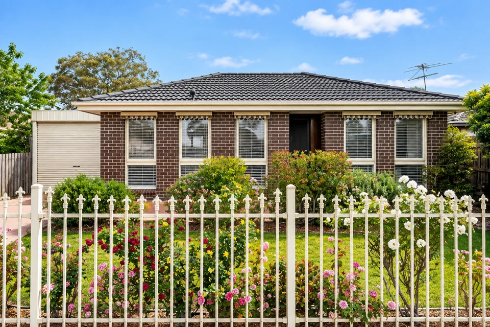
Choose a home based on its location, dwelling type, and the trips you expect to make each day. An apartment near work or public transport may suit you better than a house with a longer commute. Check access to shops, schools, health services, and the routes you will use regularly. The City of Gold Coast’s services and maps can help locate council facilities and local services.
For rent comparisons, use the Queensland Residential Tenancies Authority’s median rents quick finder. Select a suburb or postcode, then choose the dwelling type and reporting quarter. Add a bedroom count if the finder offers one. The results show median weekly rents from new rental bond lodgements. Half of the recorded rents are above the median and half are below it.
State the period, area, dwelling type, and bedroom count when using a rent figure – for example, the median weekly rent for a two-bedroom unit in a named suburb during a specified quarter. A median does not quote the rent for an individual property. It summarises new tenancies recorded in that location and period. To assess change over time, compare the same quarter across different years. The RTA advises against drawing conclusions from one quarter to the next.
Rent figures do not cover bond requirements or tenancy rules. Check the RTA’s renting information for current Queensland requirements, rental steps, and bond arrangements.
Before choosing an address, check the council’s flood information and City Plan for mapped flood exposure and planning controls. Flood-related and coastal conditions vary between streets and properties, including within the same suburb. A map shows mapped exposure or planning constraints; it does not confirm a live flood warning, current road closure, or the condition of a particular building. Check current warnings and road conditions separately, and use council services to confirm address-specific details such as waste collection.
Getting around the Gold Coast
Gold Coast public transport includes buses, trains, trams, and ferries, but coverage and service frequency differ between suburbs. The City of Gold Coast public transport guide outlines the network and links to live journey planning and service information. Before travelling, check Translink for current route and fare information, including available payment options.
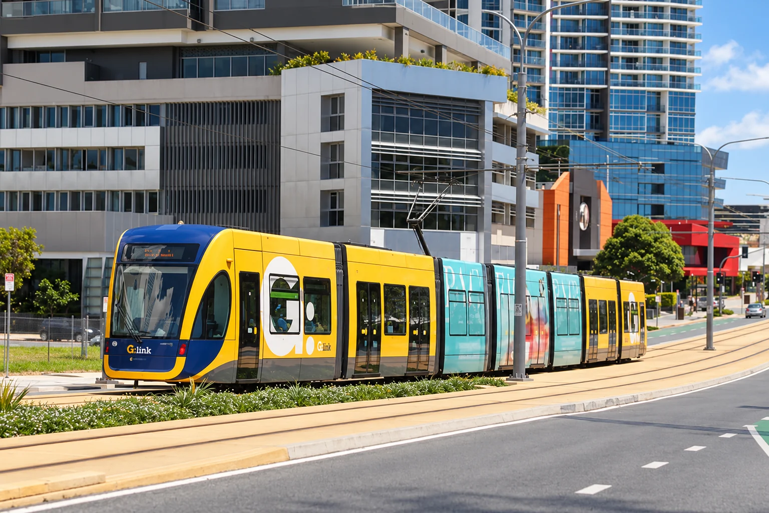
When comparing homes, map the full trip to work, study, shops, and other regular destinations at the times you expect to travel. Living near a train station or tram stop provides more direct access to parts of the coast and to Brisbane connections. Other locations may require a bus connection, car, or bicycle for regular trips. Check the relevant timetable, interchange, and cycling route rather than assuming the same level of access across the city.
Most driving trips between the Gold Coast and Brisbane use the M1. Travel time depends on the starting point, destination, route, and traffic, especially during peak periods. Check current incidents and road conditions through Queensland Traffic.
Choose a location after comparing the trips you will make most often.