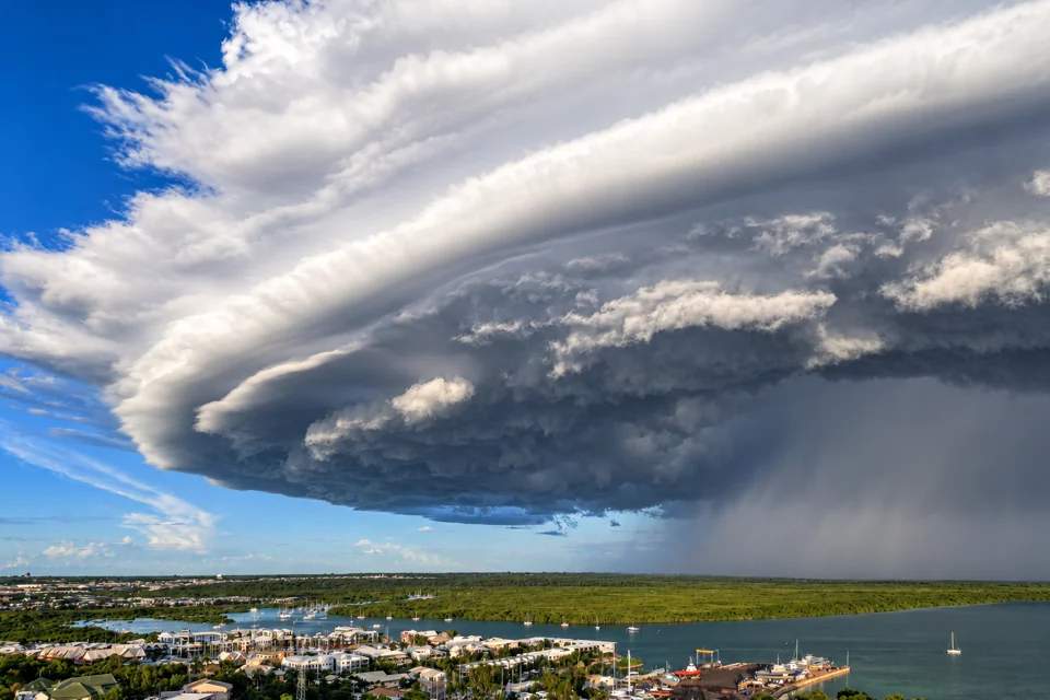
For travel to Darwin, Kakadu or Katherine, plan for wet-season conditions from October to April. Rain generally builds from October, is heaviest from January to March, and eases during April. The Bureau of Meteorology uses this period for its northern wet-season summaries, although the exact start and finish vary across the Top End.
Average rainfall is 69.7 mm in October, 146.5 mm in November and 255.5 mm in December. It rises to 432.1 mm in January, then averages 372.4 mm in February and 313.1 mm in March before falling to 102.4 mm in April, according to the Bureau’s Darwin Airport climate statistics. These are long-term averages from one weather station. They do not forecast a particular trip or represent rainfall across the whole Top End.
Rain onset and monsoon onset
Rainfall onset and monsoon onset describe different events, so they do not fall on the same date.
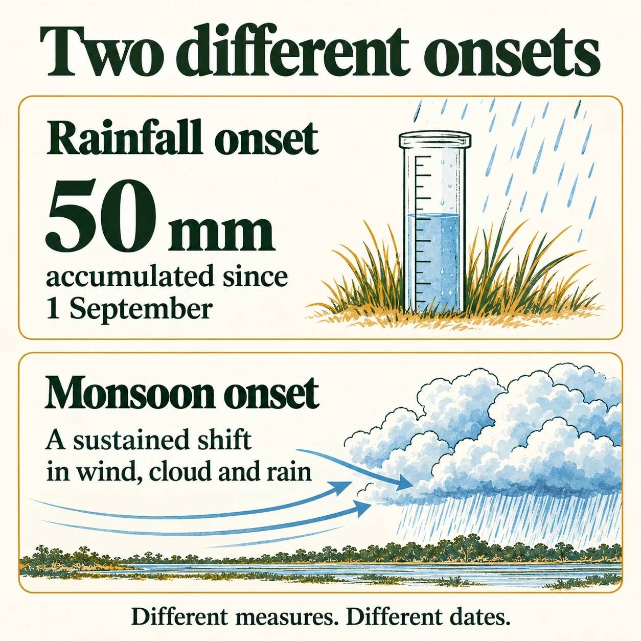
The Bureau defines northern rainfall onset as the date when rainfall accumulated since 1 September reaches 50 mm. It marks the beginning of sustained seasonal rain; the first isolated storm does not by itself mark onset.
Monsoon onset marks a sustained change in wind, cloud and rain patterns. At Darwin, the Bureau recorded monsoon onset on 23 December 2025 during the 2025–26 wet season. The average onset date is 29 December, based on seasons since 1957–58, according to the Bureau’s 2025–26 northern wet-season summary.
What is the weather like?
Expect high humidity, heavy rain and thunderstorms during the wet season. Darwin Airport averages 1,732.4 mm of rain across 113.0 rain days each year, according to Bureau of Meteorology climate statistics. Rain does not fall evenly through the season or across the Top End, and long-term averages cannot predict conditions for a particular trip.

Northern Australia recorded area-averaged rainfall of 683.8 mm in the 2025–26 wet season, 44% above the 1961–1990 average and the seventh-highest total since records began in 1900–01. This figure covers land north of 26°S, rather than the Top End alone, and describes that season rather than future weather.
Cyclones and heavy rain
Monsoonal rain and tropical cyclones bring intense rainfall and damaging winds; they also cause flooding. The storm’s track and timing shape the impact, as do local conditions such as how wet the ground already is.
The Bureau recorded 11 tropical cyclones in the Australian region between October 2025 and April 2026, compared with a long-term average of 10. The regional total does not show how many cyclones affected the Top End.
Severe Tropical Cyclone Fina made landfall on the Cobourg Peninsula on 21 November 2025. Middle Point recorded 430.0 mm of rain in the 24 hours to 9 am on 23 November. The event shows the rainfall totals a tropical cyclone can produce; it does not forecast a future season. Check the Bureau of Meteorology Darwin forecast for current conditions and warnings.
How does rain affect travel?
Heavy rain and flooding close roads, submerge causeways, and restrict access to parks, waterfalls and swimming areas. Check the Northern Territory Road Report before driving, obey closure signs, and never drive or walk through floodwater.
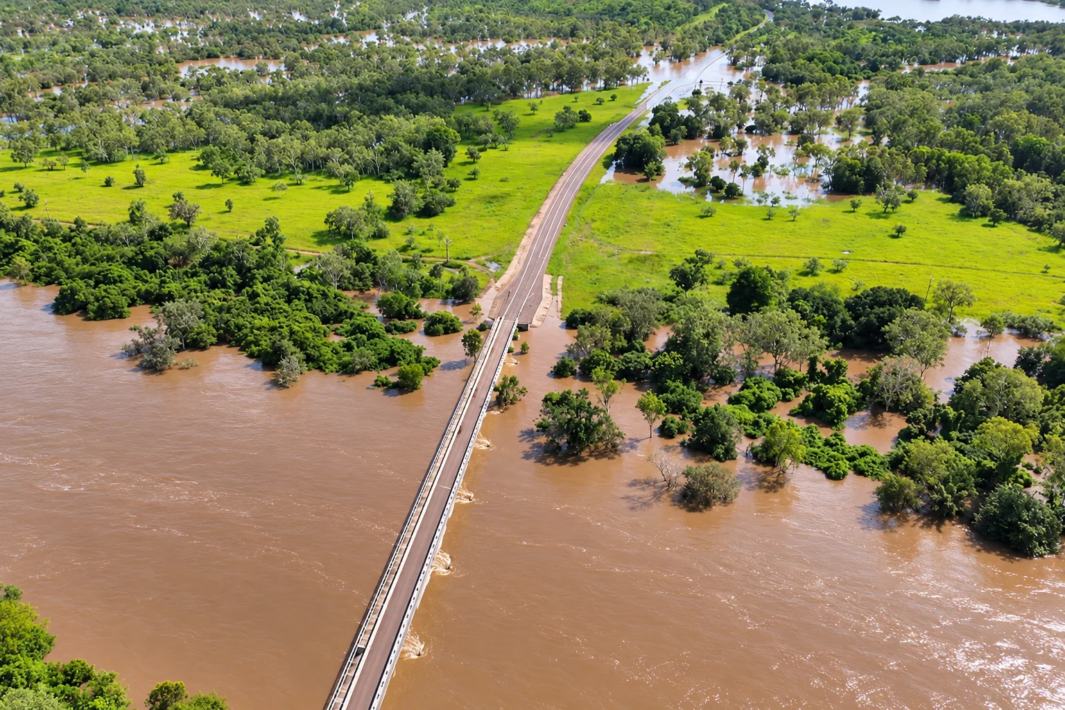
Before visiting a park, waterfall or swimming area, check NT Parks and Wildlife closures and alerts. Wet-season dates do not confirm that a road, park or swimming area is open. Current local conditions and official closure notices determine access.
How can visitors stay safe?
Check Northern Territory Emergency Service warnings for your location and follow instructions for the named event and area. For cyclones, floods and storms, the NT uses three warning levels: Advice, Watch and Act, and Emergency Warning. Follow directions from emergency workers.
Floodwater and health
Stay out of floodwater and away from flooded drains, rivers and streams. Treat floodwater as contaminated. Wash exposed skin thoroughly with soap and water after contact with floodwater, mud or flood-affected belongings.
Heavy rain increases exposure to melioidosis bacteria in soil and water, while diabetes, kidney disease and lung disease raise the risk of serious illness. Seek medical care if you develop fever or breathing difficulties after exposure, and have deep or swollen wounds assessed. The NT Government’s health guidance gives further precautions.
Rain also leaves pooled water where mosquitoes breed. Use repellent containing DEET, picaridin or oil of lemon eucalypt (PMD). Spend less time outdoors around sunset, overnight and near sunrise, when mosquitoes are most active, as advised by the NT Government.
Swimming and cyclones
Follow signs and current local advice before entering the water. A 2024 NT Government stinger-season notice stated that box jellyfish are more likely in NT waters from October to the end of May. Wear protective clothing, such as a stinger suit, when entering the water during that period. Check site-specific advice before you go.
If cyclone conditions are forecast, secure loose outdoor items and identify nearby safe high ground and a route to reach it if flooding or storm surge threatens. Keep essential supplies for at least 72 hours, following NT Emergency Service cyclone advice. Stop travelling as conditions deteriorate and follow the current warning for your location.