
Ningaloo Reef is a fringing reef on the Coral Coast of Western Australia, about 1,200 km north of Perth. Fringing reefs grow close to shore, so at the best beaches you can wade from the sand into a shallow lagoon and reach coral within minutes. Most visitors stay in Exmouth, Coral Bay or Carnarvon, which the park managers list as the gateways to the coast.
Three decisions shape a trip. Whale shark swims run only on licensed boat tours, from March to August. Humpback whales pass from June to November. Snorkelling from shore at sites such as Turquoise Bay needs no tour but does need experience, because lagoon currents are strong. Fuel and drinking water are sold only in the three towns, and campsites must be booked ahead.
Size, location and management
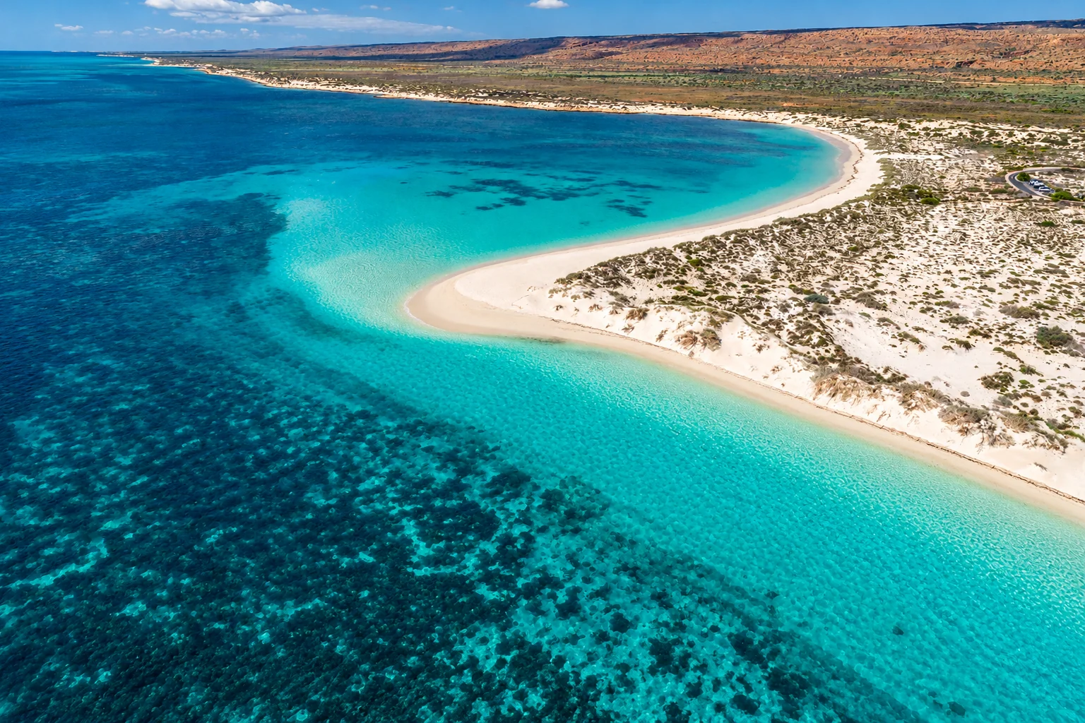
The official visitor guide describes Ningaloo as Australia’s largest fringing reef. It runs more than 300 km from North West Cape to Red Bluff, and the Ningaloo Marine Park and Muiron Islands Marine Management Area protect about 290,000 hectares of water off the cape. The reef is one of only two coral reefs in the world that formed on the western side of a continent. The Ningaloo Coast was inscribed as a World Heritage area on 24 June 2011.
A shallow lagoon lies behind the reef crest, and the outer reef drops away to about 30 m. At Coral Bay the reef is less than 500 m offshore in places. At Oyster Stacks the outer reef is about 300 m from shore. More than 500 fish species live in the lagoons and deeper offshore waters.
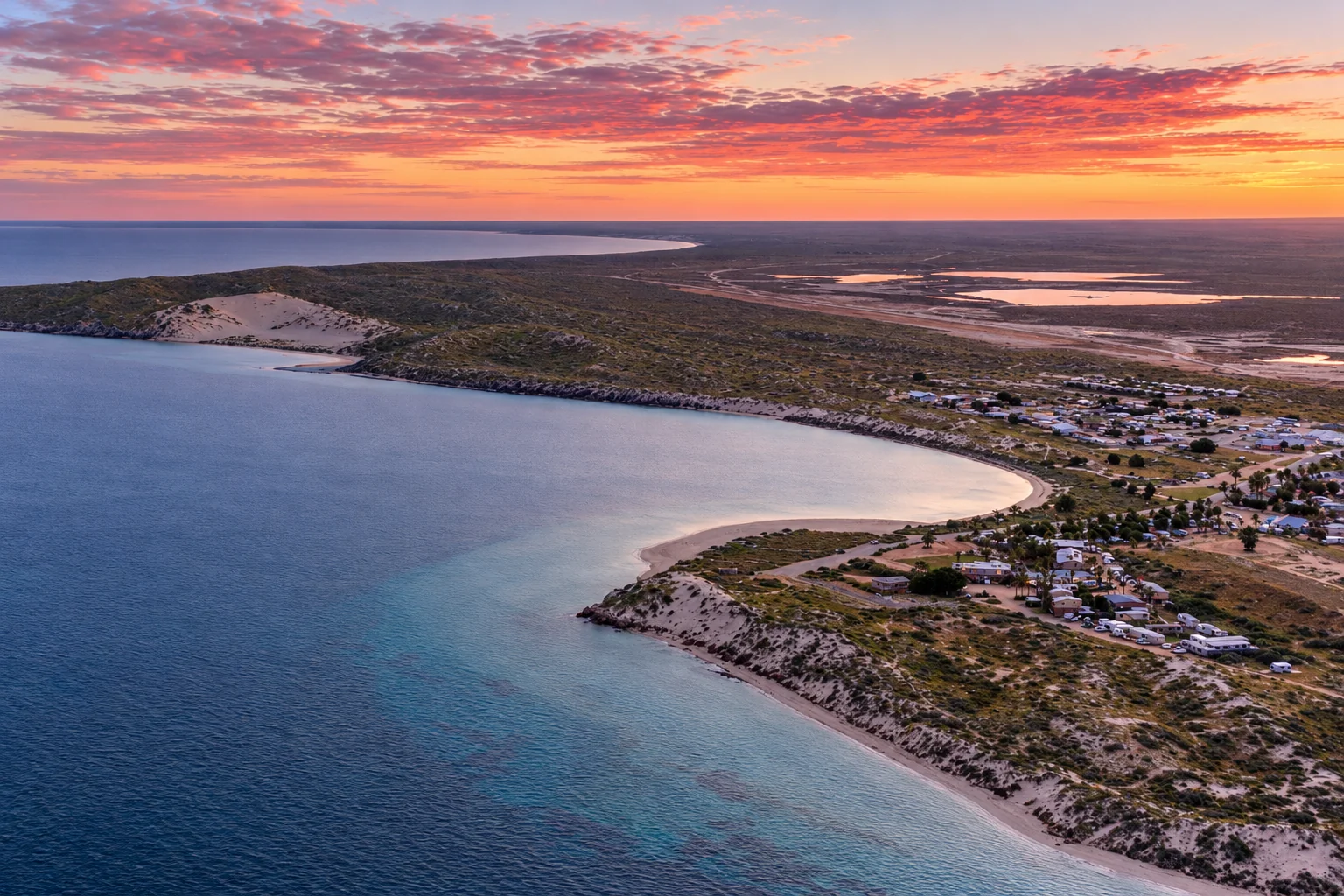
Two agencies manage the water. The state waters part of the marine park is jointly managed by the Department of Biodiversity, Conservation and Attractions (DBCA) and Traditional Owners under the Nyinggulu Indigenous Land Use Agreement, signed in August 2020. The Commonwealth Ningaloo Marine Park begins about three nautical miles from shore, covers 2,435 km² and is managed by Parks Australia with DBCA and the Department of Primary Industries and Regional Development. Its rules differ from those in state waters in some respects, so check which zone you are in before you fish or launch a boat.
Reef health after the 2024/25 bleaching
The 2024/25 marine heatwave was the longest, largest and most intense on record for Western Australia. AIMS reported on 12 August 2025 that it caused the most widespread coral bleaching the state has recorded. Heat stress peaked in December 2024 and January 2025 and then eased. It peaked again in March and April 2025 and began to recede in May, when the AIMS survey recorded bleaching and mortality of 31% to 60% at Ningaloo, with the Tantabiddi and Jurabi areas hit hardest.
Coral bleaches when heat stress forces it to expel the algae that feed it. AIMS scientist Dr Nicole Ryan notes that a bleached coral is still alive and can recover, although some species take longer to do so or die. AIMS senior research scientist Dr James Gilmour says reefs need 10 to 15 years to recover fully. The CSIRO’s Ningaloo Outlook report rated the shallow reefs of northern Ningaloo as poor to fair in 2025. Coral cover there has declined since 2022. Predators and disease caused the first losses, and bleaching followed.
Ningaloo has bleached less often than other reefs in the eastern Indian Ocean. Research on ocean transport at the reef found that summer coastal upwelling cools the water along the reef by an average of 2 to 3°C compared with offshore. Earlier mass bleaching in Western Australia is recorded in 1998, 2011 to 2013 and 2016.
The reef remains worth visiting. Fish, turtles, rays and the large migratory animals are unaffected by coral condition in the short term, but expect patches of pale or dead coral at the northern sites. Stand only on sand, because stressed coral is more fragile and damaging it is an offence under the Conservation and Land Management Act 1984 and the Biodiversity Conservation Act 2016.
When to visit
Animal movements decide when marine activities run, while weather limits what you can do on land.
| Activity | Timing |
|---|---|
| Whale shark season | March to August |
| Humpback whales passing | June to early November |
| Turtle mating | September to December |
| Turtle nesting | October to March |
| Hatchlings reaching the sea | February and March |
| Evening Turtle tours | December to March |
| Best months for walking | April to September |
| Cyclone season | November to April |
Summer temperatures often exceed 45°C, and the park page says walks should be attempted only between April and September. April to October overlaps both whale sharks and humpbacks, which makes June to August the window when the two big attractions coincide. Western Australian school holidays push up tour prices and campsite demand, and the whale shark price tiers below reflect that.
Snorkelling from the shore
All snorkel sites in the park require snorkelling experience. Never snorkel alone, assess conditions before you enter the water, and expect lagoon currents. Stand on sand rather than coral, and do not touch marine life, because some animals sting or bite. Inexperienced swimmers should not snorkel in strong currents without an experienced companion.
Turquoise Bay
Turquoise Bay is about 9 km south of Milyering Discovery Centre. It has two named areas: the Drift Snorkel Area and the Bay Snorkel Area. Water builds up in the lagoon behind the reef and flows out through gaps, and large waves and high tide strengthen that outflow. Strong currents can also form on the beach just west and south of the bay. Rangers do not regularly patrol the beaches, so a swimmer without an experienced companion should go with a licensed tour operator instead.
Lakeside and Oyster Stacks
At Lakeside, walk to the water’s edge, then about 500 m south along the beach to the sanctuary markers. Snorkel in the area between the beach and the two in-water marker buoys.
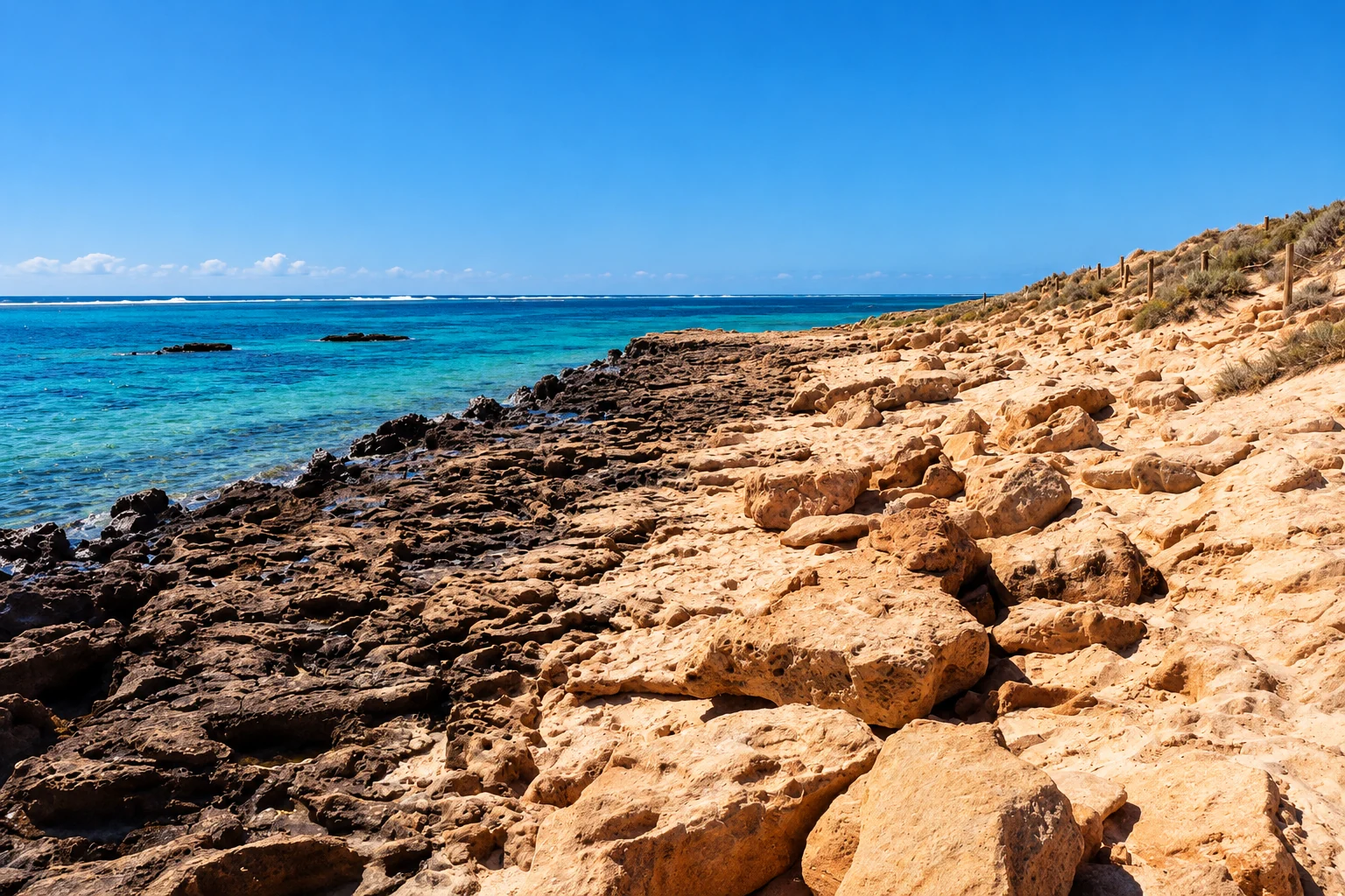
Oyster Stacks has one of the narrowest lagoons on the coast. Snorkel there only at high tide, when the water is at least 1.2 m, and check a tide chart first. The entry point has sharp rocks.
Other beaches and Coral Bay
Trealla Beach, south of Varanus Beach, gives access for fishing, snorkelling and swimming. It lies within the Lakeside Sanctuary Zone. Trisel is in the Tantabiddi Recreation Zone, where fishing is permitted. Coral Bay has many snorkel sites, and the Parks and Wildlife Service information hut and local tour operators can point you to current conditions. Paradise Beach and southern Bills Bay are designated for swimming, snorkelling and other passive activities, and the area is restricted to authorised vessels.
You can hire snorkel gear at the shop at Milyering Discovery Centre. No visitor fees apply to the marine park in either state or Commonwealth waters, although park entry fees apply on land.
Marine park zones and rules
Sanctuary zones carry the highest protection. Fishing is prohibited, as is taking anything living or non-living. Most zones are marked on shore. Tantabiddi, Lakeside and Maud also have in-water buoys. Zone coordinates are on the fold-out map in the visitor guide, and the Ningaloo Atlas zoning page shows them online.
You cannot collect shells from the marine park. Spearfishing is banned in sanctuary zones and in Commonwealth National Park Zones. In state waters it is also banned between Tantabiddi Well and Winderabandi Point, and anywhere with compressed air such as scuba or hookah. The DPIRD spearfishing guide has the details.
Kayak and snorkel trails
Four kayak trails have designated buoys near reef features, and every mooring is inside a sanctuary zone. Three trails are near Exmouth, in the Bundegi, Tantabiddi and Osprey sanctuary zones. Bundegi is the only one on the Exmouth Gulf side of the cape. The fourth is in the Maud Sanctuary Zone at Coral Bay, with four sites between 300 m and 1.8 km from shore. A maximum of 10 kayaks may use a mooring at a time.
Most kayak sites are more than 400 m from shore, and some return journeys take up to four hours. Required gear includes a life jacket, flares, and a bailer if the kayak is not self-draining. The visitor guide refers paddlers to the Department of Transport’s Paddle Safe brochure.
Swimming with whale sharks
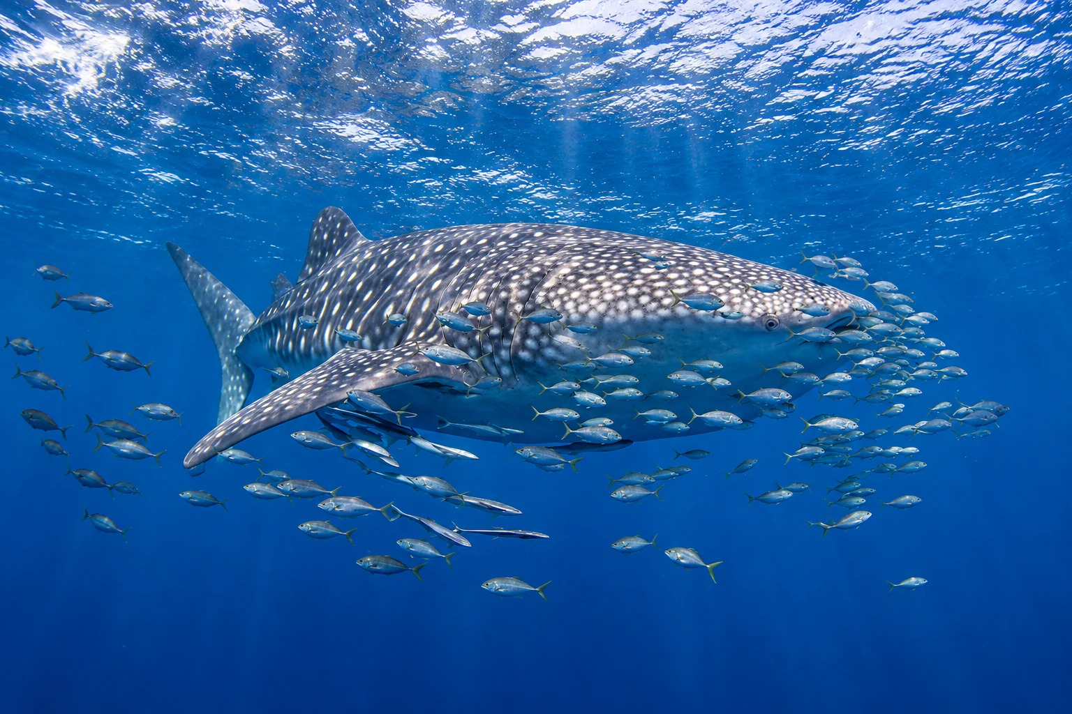
Whale sharks are the largest fish in the sea and Ningaloo is one of the few places where they appear in large numbers close to shore. They measure 3 to 12 m, averaging about 5 m, and most Ningaloo sharks are juvenile males. They are filter feeders that eat plankton such as krill and copepods. They are listed as Vulnerable under the Biodiversity Conservation Act 2016 and the federal EPBC Act 1999. The best time to see them on their migration is March to August.
Licensed operator tours are the only legal way to swim with them. The rules in the Biodiversity Conservation Regulations 2018 apply to everyone on the water, not only operators, and the visitor guide summarises them:
- A 250 m radius applies around any whale shark. Only one vessel at a time may operate inside it, at 6 knots or less and for a maximum of 90 minutes.
- A second vessel must stay 250 m away. Any other vessel must stay 400 m away.
- Vessels must not approach within 30 m of the shark, and should drop swimmers ahead of the animal’s direction of travel.
- Swimmers must keep at least 3 m from the head or body and at least 4 m from the tail, with no more than 10 people in the water at once.
- Touching or riding a whale shark and restricting its movement are prohibited. Flash photography, cameras on extension poles and motorised propulsion aids are also banned.
Whale shark tour prices
Prices vary by operator and by season. The Ningaloo Whaleshark Swim price page, last modified 12 October 2026, lists these rates:
| Season | Dates | Adult | Senior | Child (6 to 16) |
|---|---|---|---|---|
| Peak | WA school holidays, 10 to 25 April and 3 to 25 July | $690 | $670 | $650 |
| Main | 27 March to 31 August, excluding peak | $660 | $640 | $620 |
| Shoulder | 15 to 26 March and 1 September to 15 October | $630 | $615 | $600 |
That operator charges $290 for an observer who accompanies a swimmer and $350 for one who does not, and $50 for a child observer under 6. Its family rate for two adults and two children is $2,260.
Three Islands Whale Shark Dive (page updated 20 September 2026) lists an adult price of $660, a child price of $590, a family rate of $2,350 and an observer rate of $250 for early March to late August. Its September to mid-October Whale Shark and Ningaloo Reef tour costs $550 for adults and $500 for children. It takes up to 20 swimming passengers, in groups of 10 in the water at a time. Prices include courtesy transfers and crew, plus a spotter plane and an onboard photographer who supplies free photos. Lunch, snorkel gear and wetsuits are covered, and so are DBCA fees. If no whale shark is sighted, it offers a free repeat tour, a partial refund or a transferable voucher valid for two years.
Diveinaustralia runs a 17 m vessel that carries a maximum of 14 swimmers, in groups of 7. Its whale shark and Ningaloo reef tour for September to October 2026 costs $550 for adults and $500 for children, with a family rate of $1,995. Exmouth Dive & Whalesharks Ningaloo sells a deluxe swim at $625 per adult. The price includes national park fees, a drink and free photos and video, and part of the ticket supports whale shark research.
Tours typically depart from Tantabiddi Boat Ramp. Three Islands and Diveinaustralia both describe a courtesy pickup from accommodation around 7:45am, with commentary on Cape Range National Park on the way. Bring sun protection, swimwear, a towel, a camera and a water bottle, and ask the operator for a prescription mask if you need one. Prices change by season, so confirm at booking.
Humpbacks, turtles and other wildlife
Humpback whales
From June each year, the west coast humpback population migrates north through Ningaloo Marine Park to mate and calve off the Pilbara and Kimberley. On the return trip they rest with their calves in Exmouth Gulf, where they can be seen until early November.
In-water humpback swims began as a trial in mid-2016 in state waters. DBCA’s 2020 trial page said the trial would transition to licensed industry after 2023. The 2024 visitor guide describes a permanent industry of 15 licensed operators from 2024. Bookings go through the Ningaloo Visitor Centre. Operator prices include Three Islands at $600 per adult (13 and over) and Diveinaustralia at $620 per adult for August to October.
Recreational boaters face tighter limits. Vessels must stay 100 m from humpbacks, and within 300 m they must not approach from within 60-degree arcs at the front or back of the whale. If a whale comes within 100 m, the vessel moves away at under 5 knots until the gap is restored. Aircraft must stay beyond 300 m, and people in the water must keep at least 100 m away. Only commercial vessels flying the humpback flag may have swimmers in the water.
Turtles and dolphins
Turtles mate in shallow water from September to December and nest from October to March. Nesting females are sensitive to light and movement. Hatchlings emerge about 60 days after laying. Visitors can watch hatchlings make their first dash to the sea in February and March. Evening Turtle eco-education tours run December to March and are booked through the Ningaloo Visitor Centre on (08) 9949 3070. The Jurabi Turtle Centre displays the species.
Indo-Pacific bottlenose dolphins and Australian humpback dolphins live along the coast and around the islands of Exmouth Gulf. Swimmers must keep at least 50 m from dolphins and move away if one approaches within that distance.
Rays, dugongs and fish
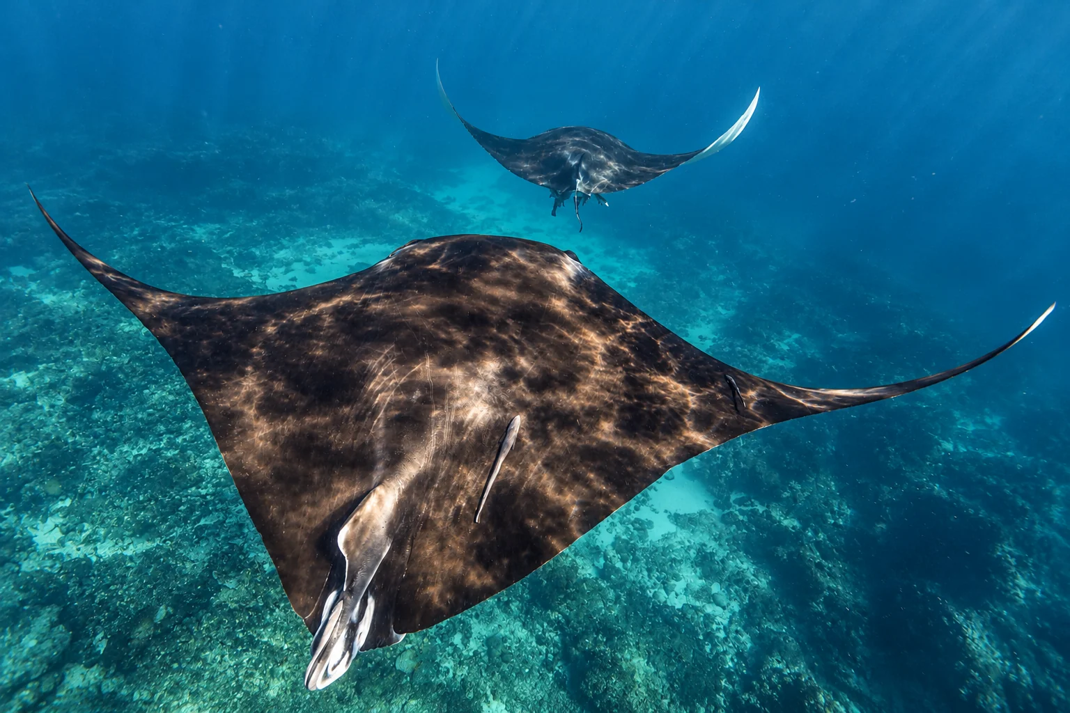
Manta rays and dugongs are regularly seen at Ningaloo. The visitor guide lists fish such as Clark’s anemonefish, convict surgeonfish, beaked leatherjacket, blue-spotted ray and yellow boxfish. Up to 20 species of whales and dolphins visit the coast and Exmouth Gulf, including pygmy blue whale, dwarf minke, Bryde’s whale and orca.
Scuba diving and reef tours
Scuba divers use the same reef from boats. Ningaloo Whaleshark Swim lists dive products at Navy Pier, the Muiron Islands, Lighthouse Bay and Ningaloo Reef, as well as Try SCUBA for first-timers and a refresher dive for those out of practice. Check pricing directly with the operator. Spearfishing with scuba gear is banned anywhere in the marine park, and sanctuary zones are no-take for divers as for everyone else.
Reef snorkel tours run beyond whale shark season. Three Islands’ September to mid-October Whale Shark and Ningaloo Reef tour costs $550 for adults, and Diveinaustralia’s reef tours range from $400 to $550 depending on dates. Weather and conditions decide which reef stops a tour makes. Boat operators tie up to public moorings at major dive and snorkel sites rather than anchoring on the reef. The guide says these were free to use at the time of publication, and most are daytime only.
Getting there and getting around
Exmouth, Coral Bay and Carnarvon are the three towns with water and fuel. There is no drinking water in Cape Range National Park, Nyinggulara National Park or the Nyinggulu Coastal Reserves, so fill your tanks and containers before you enter.
Milyering Discovery Centre is about 54 km from Exmouth and open daily from 9am to 3:45pm, except Christmas Day. It is free and self-guided, with displays and a snorkel hire shop, and runs school holiday programs in April, July and October. The phone number is (08) 9949 2808. It is the main place to check conditions and closures, and Yardie Creek can become impassable because of tides and weather.
The coastal access road is sealed and suits all vehicles, including motorhomes. It becomes Yardie Creek Road where it leaves Murat Road at the Naval Comms Station entrance, and it ends at the Yardie Creek campground beside the beach and gorge entrance. The speed limit in Cape Range National Park is 80 km/h, and the park advises avoiding night driving because of kangaroos and other animals. Most other access roads suit 2WD but deteriorate quickly after rain. The K campground, about 1 km south of the Yardie Creek crossing, and Boat Harbour campground, 3 km south of the crossing, are 4WD only, as are the last 12 km of Shothole Canyon.
Beaches in Cape Range National Park, the Nyinggulu Coastal Reserves, Nyinggulara National Park, Jurabi Coastal Park and Ningaloo Marine Park are closed to vehicles. The only exceptions are designated access points for boat launching and kayaks. There are no designated off-road vehicle areas in Cape Range or around Exmouth.
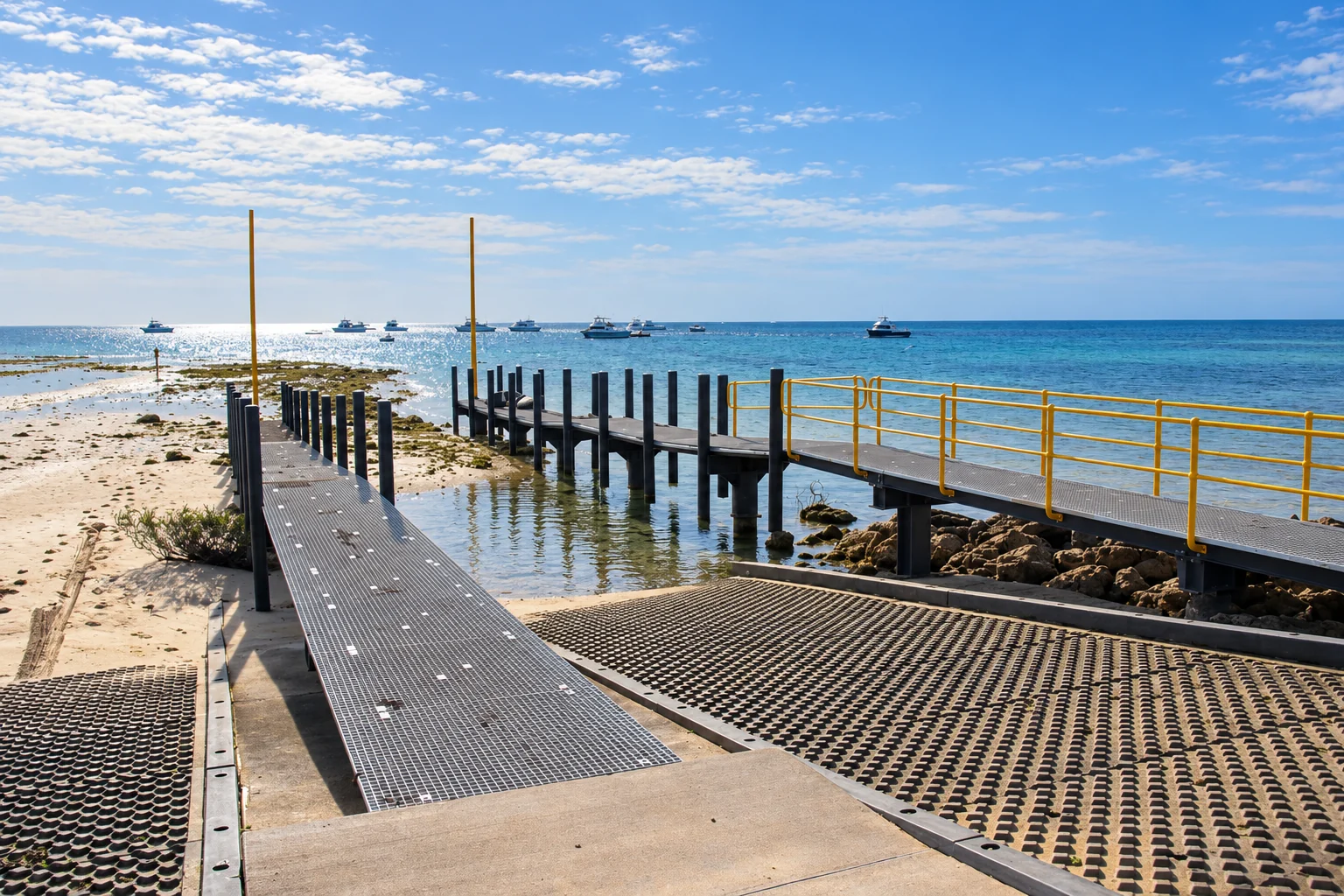
Boat ramps operate at Coral Bay, Tantabiddi, Bundegi and the Exmouth marina. Informal launch areas exist at some beaches, but many are on soft sand and unsuitable for large boats. Slow down near coral, tilt the motor in the shallows, anchor on sand and check the anchor is not dragging. At Coral Bay, follow the channel markers when travelling north from the boat facility.
Recreational drone use in Western Australian national parks and conservation reserves is regulated, so check the current DBCA rules before you fly.
Camping and accommodation
Camping in Cape Range National Park is permitted only at designated campsites between Boat Harbour and Ned’s Campsite. Named park campgrounds include Osprey Bay, Mesa, Yardie Creek (the largest park-run campground) and Kurrajong. Kurrajong has 35 unpowered gravel sites about 150 m from the beach, with no-flush pit toilets, picnic tables and benches. It has no drinking water, no campfires at any time, no generators and no dogs.
Booking is essential year-round. You pay by Mastercard or Visa when you book, and there is no booking fee. Cancelling or changing dates may incur a fee, with stricter conditions in peak periods. Other Cape Range campgrounds open for booking 180 days before arrival, but Ningaloo Coast campground bookings open monthly, on the first Tuesday at 10:00am AWST. Bookings for 1 to 30 April 2027 opened on Tuesday 6 October 2026, ahead of WA school holidays, and stays up to and including Thursday 1 April 2027 were open at the time of the notice. The official booking guide explains the schedule.
Each booking covers one campsite. The maximum stay is 14 nights if any night falls in WA public school holidays and 28 nights otherwise. Check-in is at 11am and check-out at 10am. No campfires are allowed anywhere in Cape Range National Park, though gas stoves are permitted. Dogs and other pets are also not allowed in the park.
Cyclone damage and closures
Severe Tropical Cyclone Narelle damaged campgrounds along the coast. A notice on the Cape Range National Park page says campsites 12 to 28 at 14 Mile Campground, in the Warroora Coast and Nyinggulu Coastal Reserves, sustained significant damage. The campground is closed from Thursday 29 October for works, and sites need relocation and rebuilding. All campgrounds in Nyinggulara National Park (Janes Bay, North Lefroy, Point Billie, South Lefroy and Winderabandi) were significantly damaged. The park’s radio tower was also damaged, so emergency communications there are down. Check the DBCA alerts site (alerts.dbca.wa.gov.au) before you plan any camping outside Cape Range.
Camping near Coral Bay and the south coast
There is no free or coastal camping near Coral Bay. The nearest coastal camping is on the Warroora Coast to the south, at Bruboodjoo Point on Cardabia Station to the north, and in Nyinggulara National Park further north. Warroora Homestead, Quobba and Gnaraloo Stations offer camping and accommodation on the southern coast. Dogs are allowed on Paradise Beach only, on a lead. Sal Salis is a privately operated eco-tent retreat for guests only.
Park entry fees
Cape Range National Park charges standard park entry fees per vehicle, with a per-person camping fee on top. The vehicle fee covers motor vehicles only, so trailers, camper trailers and caravans are exempt. You can pay when you book, on arrival at the park or by buying a park pass, and passes suit repeat visitors. Visitor fees can also be paid at Milyering Discovery Centre or at the Parks and Wildlife office in Exmouth. Shothole Canyon and Charles Knife Canyon do not require park entry fees.
Fees change, so check the current amounts on the DBCA ParkStay site (parkstay.dbca.wa.gov.au) before you travel. The marine park itself charges no visitor fee.
Safety, heat and wildlife
Summer temperatures often exceed 45°C, and tropical cyclones occur occasionally between November and April. Wear sunscreen and a hat, and carry drinking water. Walkers should carry at least 1 litre of water per person per hour. The visitor guide’s advice on the water is "If in doubt, don’t go out", because conditions turn hazardous quickly, especially near reef gaps. For water temperature, the NOAA Coral Reef Watch gauge covers Ningaloo.
Mobile coverage is patchy. 000 calls do not go through without coverage, while the free Emergency+ app shows your GPS location. The park page also suggests carrying a personal locator beacon.
Do not feed or approach dingoes. Secure food and bait, and bury fish scraps at least 50 cm deep. 1080 baits (a poison used to control foxes and feral cats) are laid along some coastal sections and are toxic to domestic animals, which is one reason dogs are not allowed.
Walks in Cape Range National Park
Trail grades run from Class 1 (accessible and easy) to Class 4 (rough, self-reliant tracks). The Yardie Nature Walk is Class 1 and 1.2 km return. The Mangrove Bay Bird Hide, about 8 km north of Milyering, is Class 1 and 100 m return. The Class 4 Mandu Mandu Walk is 3 km return and takes about 2 hours, with reef views from the gorge rim. The Yardie Gorge Trail is Class 4, 750 m return and takes about an hour. Badjirrajirra Walk is Class 4, 6 km return and takes about 3 hours, and Shothole Canyon is Class 4 and 100 m return.
Migratory shorebirds fly about 13,000 km to reach the coast. Walkers should stay below the high tide line to avoid disturbing nests.