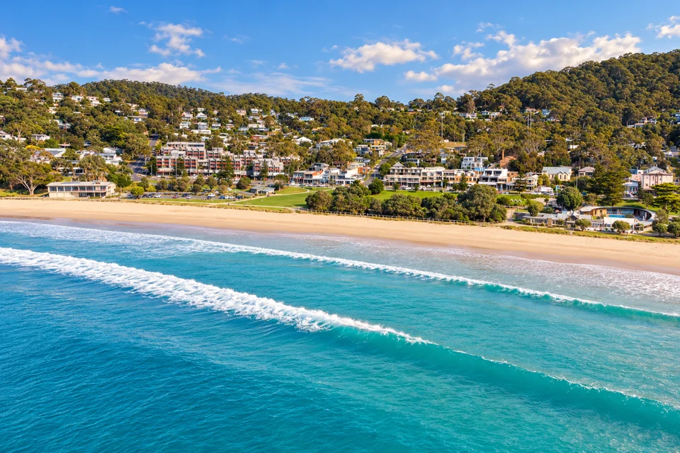
Lorne is a beach town on the Great Ocean Road in Victoria, between the Otway Ranges and Loutit Bay. A typical visit covers four things: a walk out along the curved pier, a swim at the patrolled main beach, a trip inland to Erskine Falls in Great Otway National Park, and a meal on Mountjoy Parade.
Plan around Erskine Falls first. After storms in January 2026, Parks Victoria has limited access to the top viewing platform, and the base of the falls and the river track remain closed until further notice. The Erskine Falls section below has the details.
Lorne Pier
The pier is a curved timber structure rebuilt in 2007 after a public campaign. It is free to walk and open at all hours, and it is a popular spot at sunrise and sunset, with views over rocky cliffs and breaking waves. Anglers fish from it, and stingrays, seals and other marine life are sometimes visible in the water below. Whales are seen from the pier between May and September.
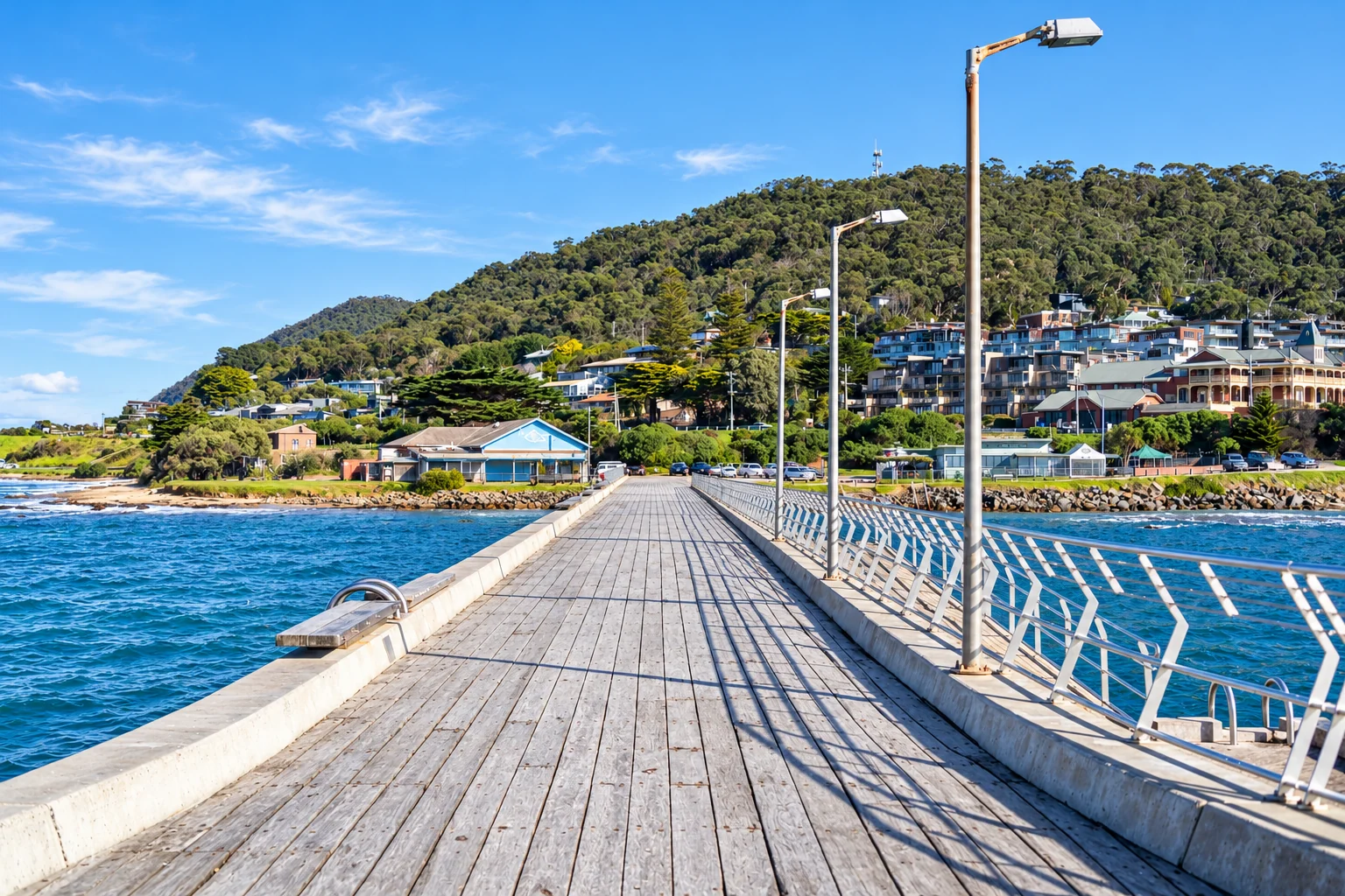
Lorne Pier Restaurant sits at the end of the pier and serves seafood, oysters and fish and chips. Pier jumping is popular but unofficial. If you watch it or try it, check the tide first and do not dive, a rule the Surf Coast Shire repeats for all beach water: never run or dive in, because conditions change.
Foreshore and walks
The foreshore runs from the Mountjoy Parade shops across lawns to the patrolled sand of Loutit Bay. The Foreshore Reserve has a playground, picnic and barbecue facilities and toilets. The playground is themed as a pier with a real boat, and a skate park sits beside it, which makes the reserve an easy stop with children.
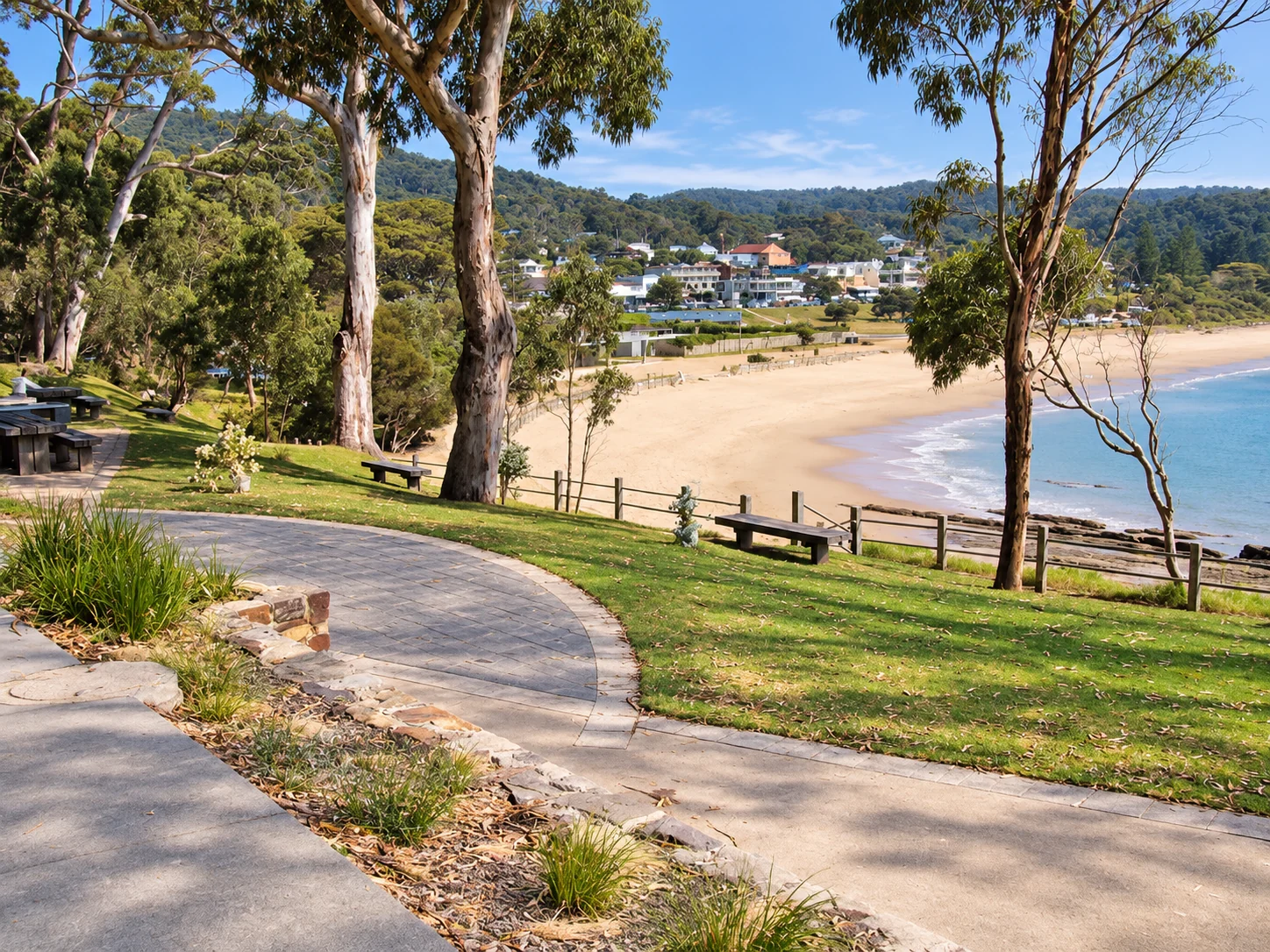
Three short walks start here:
- The Doug Stirling Walking Track is 1.5 km. It begins at the Lorne Visitor Information Centre beside the main beach, passes the surf club and the pier, then rounds Point Grey to Shelly Beach.
- The Shipwreck Plaques Walk, also 1.5 km, follows the foreshore past plaques on historic shipwrecks in Loutit Bay.
- A paved, flat path of about 2 km leads north from the pier along the bay and suits prams.
The Lorne Visitor Information Centre and Historical Society is free to enter. It stocks the Visit Great Ocean Road walking and waterfall guides, also free, and is the place to ask for advice on a wet day.
Main beach and swimming
The main beach is about 2 km long and sheltered by Point Grey, which gives the shoreline more protection than most surf beaches along this coast. Swim between the red and yellow flags when the beach is patrolled.
The Lorne Surf Life Saving Club runs two patrol services:
- Volunteer lifesavers patrol Saturday afternoons, Sundays and public holidays through summer, usually from the last weekend in November to Easter.
- Professional lifeguards from Life Saving Victoria patrol on Saturday mornings and weekdays, from late November to late January.
The club’s homepage publishes the patrol roster for the coming season, so check it before you travel. Outside patrol times there are no flags, and the sensible choice is to stay out of the surf.
The club says Lorne is usually more protected, with smaller waves, but a southeast or east wind makes the beach more dangerous than usual. It recommends the Swellnet Torquay forecast for surf reports, with the Cape Otway and Aireys Inlet observation stations as the closest indicators. International visitors who are unfamiliar with Australian surf are advised to speak to a lifesaver before swimming and ask where the safest spot is.
The Surf Coast Shire’s beach safety advice adds the general rules: swim only at patrolled beaches, never swim, surf or fish alone, learn to spot and escape rip currents, avoid swimming after alcohol or drugs, and stay out if in doubt. Beach closures and shark information come from Life Saving Victoria. In an emergency, dial 000. The club office is on Mountjoy Parade (3232) and can be reached on +61 3 5289 1724 or 0430 720 840.
Beaches inside Great Otway National Park are not patrolled, so swim only where lifesavers are on duty.
Surfing at The Point
Most surfers head to The Point, between the main beach and the pier. Lorne Point is a long left-hander at intermediate level, so beginners are better off with a lesson or a patrolled beach day. Boards can be hired from Lorne Surf Shop on Mountjoy Parade, and HAH Lornebeach hires boards, stand-up paddleboards and wetsuits.
Pier to Pub swim
The Pier to Pub is a 1.2 km open-water swim through Loutit Bay from Lorne Pier to the Lorne Surf Lifesaving Club on the foreshore. Volunteers from the club run it, and the proceeds support lifesaving services. It has run every year since 1980, according to Visit Great Ocean Road, which describes it as the largest open-water swim in the world. It takes place in January, early in the month, and about 4,000 competitors enter.
Spectators fill the foreshore, and accommodation books out. Local advice is to reserve 12 or more months ahead if you want to stay in town that weekend. The club also runs the Lorne Mountain to Surf Run in January.
Erskine Falls
Erskine Falls is a 30 m cascade about 15 minutes’ drive from Lorne. Parks Victoria’s Lorne guide places it 10 km north-west of the town. The turn-off is from the Great Ocean Road onto Erskine Falls Road.
Current access: Parks Victoria’s Erskine Falls page says severe thunderstorms and flash flooding on 16 January 2026 caused significant damage across parts of the eastern Great Otway National Park. Erskine Falls is limited to the top viewing platform. The base of the falls and the river track are closed until further notice. The same notice lists the Erskine Falls Walking Track, Phantom Falls, Lemonade Creek, Kalimna, Henderson and Sheoak Falls and several roads and tracks, including Wye Road, as closed. Check the Parks Victoria page before you drive out.
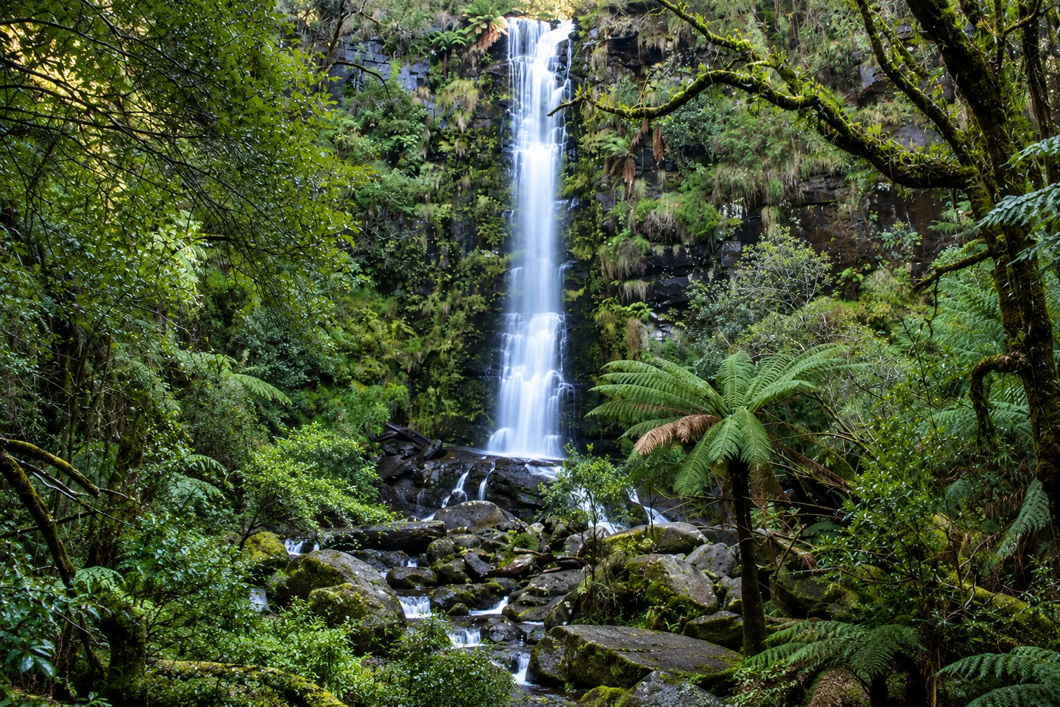
Once the base reopens, the descent to the second lookout is 230 steps, and the climb back up is the harder half. The steps rule out wheelchairs. The top lookout is an easy walk and is described as suitable for wheelchairs and pushchairs.
The river walk: a 7.5 km track follows the Erskine River between the falls and Lorne. The walk takes about three hours each way, crosses the river on stones and logs, and is not advisable when river levels are high. It is closed under the current notice.
Facilities: toilets are near the car park, though the accessible toilet does not meet all access criteria. Blanket Leaf Picnic Area, about 2 km away by road, has accessible picnic tables, fireplaces and some shelter. Parking at the falls is limited, especially in summer, and caravans fit more easily at Blanket Leaf. Assistance dogs are welcome in Parks Victoria parks.
Other waterfall walks
The Parks Victoria Lorne guide lists several walks from Sheoak Picnic Area and Blanket Leaf Picnic Area. Its details date from the July 2018 map, so confirm current track status first.
| Walk | Distance | Time | Grade |
|---|---|---|---|
| Sheoak Falls | 1.2 km | About 30 minutes return | Moderate |
| The Canyon | 8 km | 3 hours one way | Difficult |
| Lower and Upper Kalimna Falls | 8 km | 3 hours return | Difficult |
| Lemonade Creek Walk | 4.4 km one way from Blanket Leaf | Not listed | Not listed |
Kalimna, Sheoak Falls and Lemonade Creek all appear on the January 2026 closure list, so most of the waterfall walks are currently off limits. The Lorne Visitor Information Centre holds printed walking guides and can say which tracks have reopened.
Fire bans and park closures
Great Otway National Park lies in the South West and Central fire district. Parks Victoria’s Lorne guide states the rules:
- Fires are not allowed on Total Fire Ban days.
- The park closes for public safety on Catastrophic Fire Danger Rating days. Warning signs may go up, but visitors should not expect a personal warning, so each visitor is responsible for their own bushfire safety.
- Dogs are not permitted on national park roads, tracks and trails around Lorne. The exception is the St George River Track, where dogs may walk on a lead.
Access changed quickly in January 2026. On 13 January Parks Victoria reported partial closures in Great Otway National Park, with some sections, including the Great Ocean Walk and its campgrounds, reopening. On 26 January ABC News reported evacuation warnings, with authorities saying the fire could affect beach towns as far east as Lorne, Aireys Inlet and Anglesea. On 27 January a statewide total fire ban applied, and all visitor sites in the national park and state forests closed until further notice.
For live information, check emergency.vic.gov.au, the VicEmergency app or the VicEmergency Hotline on 1800 226 226 for fire danger and bans. Check park conditions at parks.vic.gov.au or call Parks Victoria on 13 1963.
Campers should note that Big Hill Track Camping Area is closed from 1 June to 31 October inclusive. Jamieson and Sharps are basic camping areas without toilets, and Jamieson also closes in winter.
Where to eat
Mountjoy Parade is the main dining strip. Hours and menus change, so confirm with each venue before you go.
Breakfast and coffee
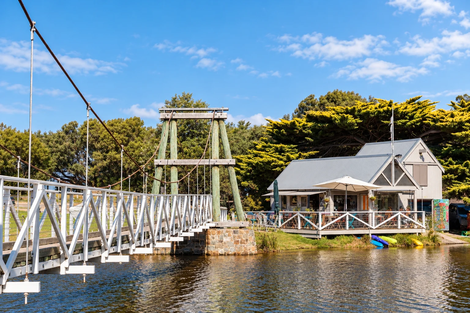
The Swing Bridge Café and Boathouse by the historic swing bridge serves brunch, and paddle boats can be hired on the river. Tourism Australia says locals go there early on lazy weekends and suggests the Wakey Wakey Roll, with bacon, avocado, cheddar and aioli.
HAH Lornebeach, at 89 Cypress Avenue, offers health-focused brunch, smoothies and jaffles. Lorne Grocer is a riverside café for brunch and lunch, serving St Ali coffee and baked goods from its sister café in Birregurra. For pastries, Australian Traveller picks Le Comptoir Pigalle. A tour operator also recommends The Bottle of Milk for breakfast and burgers. Lorne Central is a beachside café and was the only beachside café open on one public holiday.
Dinner and drinks
Totti’s Lorne, at 176 Mountjoy Parade, is a beachside restaurant run by Merivale with a wood-fired oven. The Canberra Times mentions scallops with horseradish, pippi pasta and snapper.
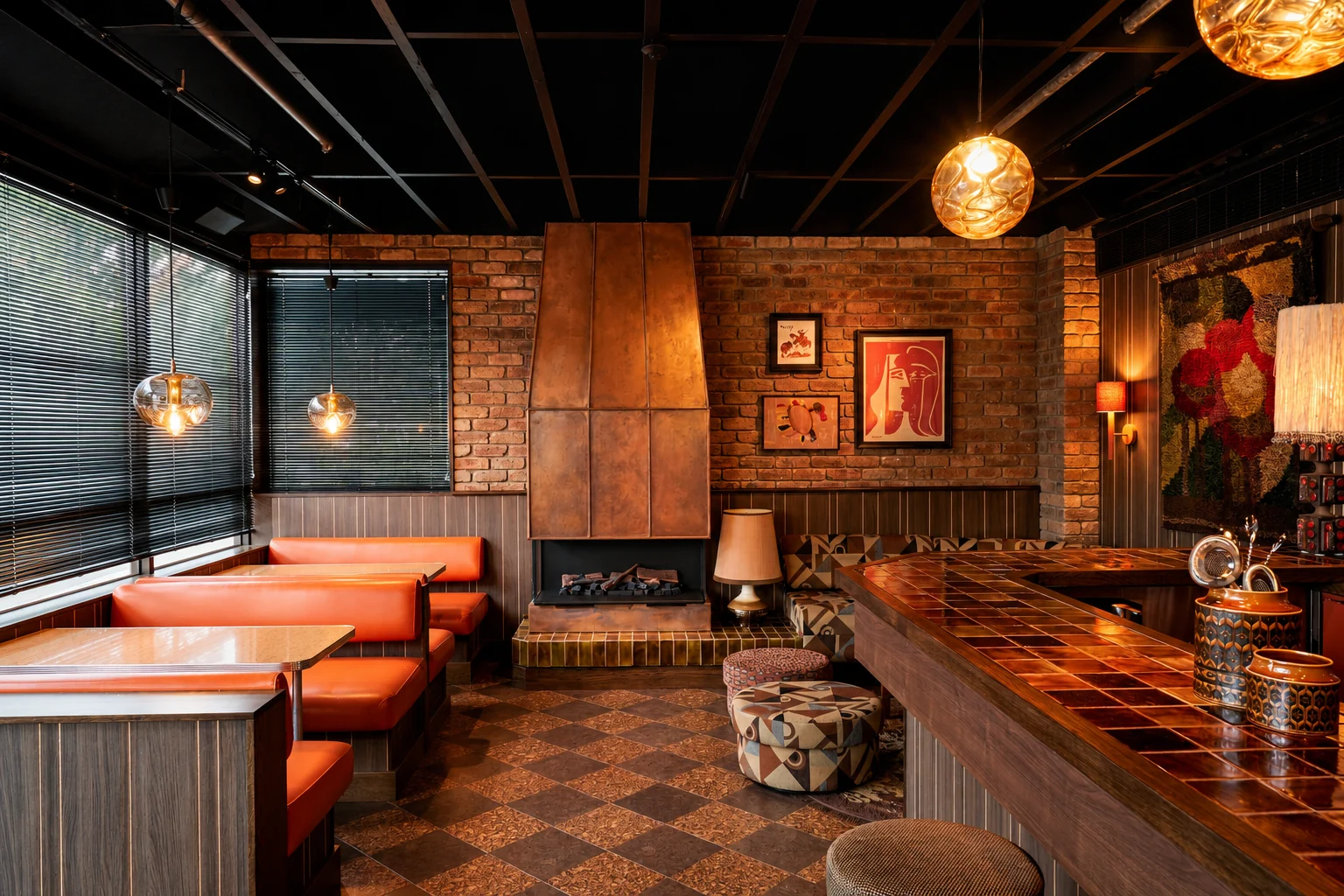
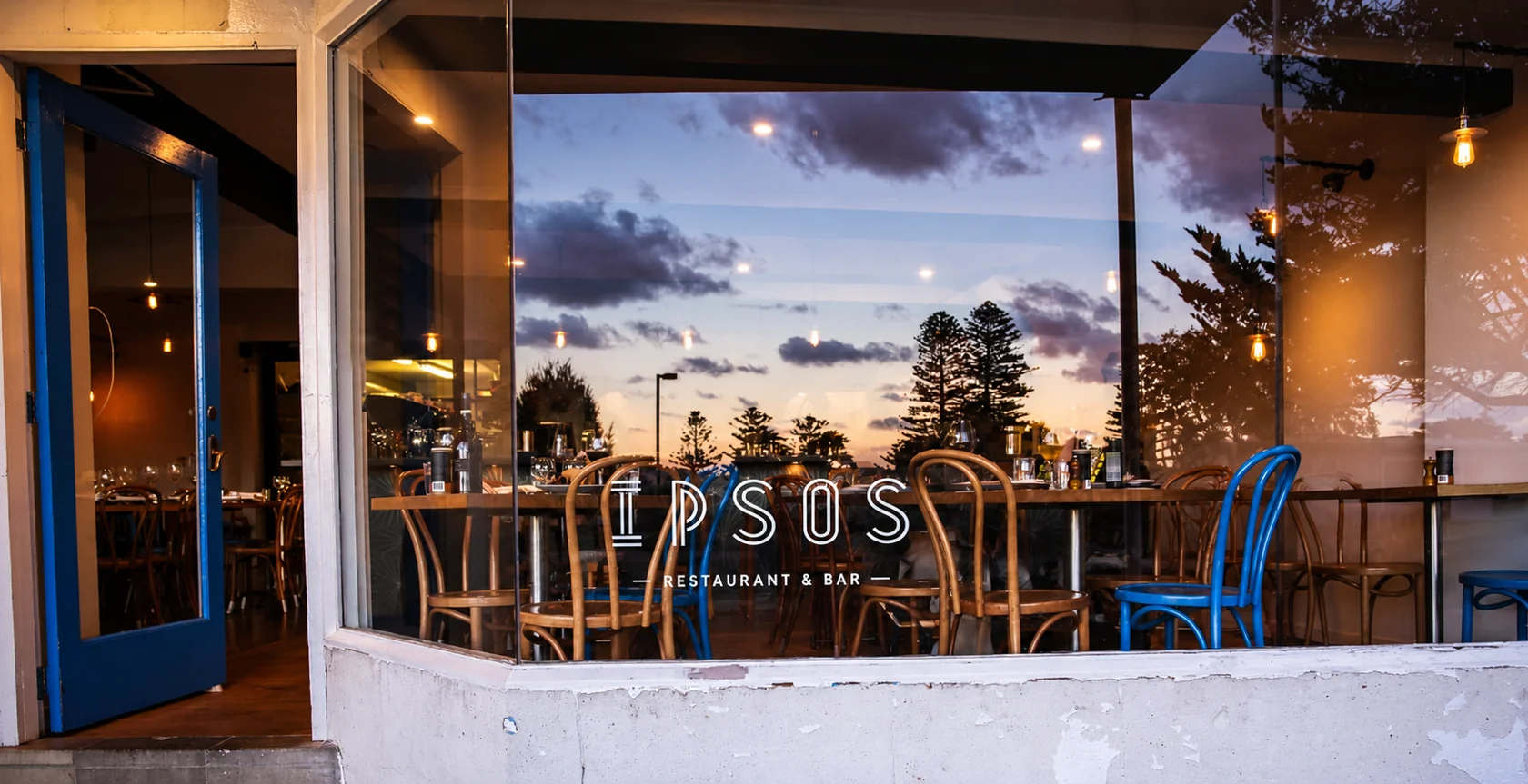
Raas Leela, at 116 Mountjoy Parade, serves modern Indian street food. Its happy hour runs from 3pm to 5pm all year, with half-priced margaritas and lager, and the snacks include an inside-out Punjabi samosa and bhaji croquettes. Ipsos Restaurant & Bar, at 48 Mountjoy Parade, serves modern Greek food, including salads, dips, grilled meats and cocktails.
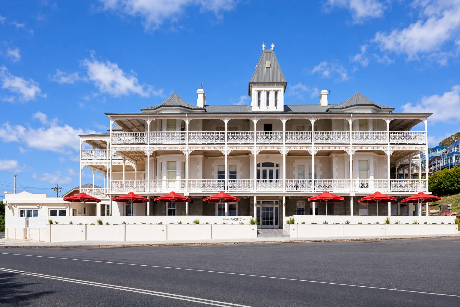
The Grand Pacific Hotel does chicken parmigiana and Italian-style dishes such as pappardelle with slow-braised lamb, backed by a long wine, beer and cocktail list. It has live music on the outdoor terrace in summer. MoVida, serving tapas at the Lorne Hotel, is another dinner option. For fish and chips or oysters with a sea view, go to Lorne Pier Restaurant at the end of the pier.