Planning a trip around Victoria? Here is what you need to know: the state’s tourism regions, the best cities and towns to base yourself in, how to get around, and the major attractions.
Victoria at a glance
Victoria is in south-eastern Australia, with Melbourne as its capital and largest city. The state includes major cities, country towns, coastlines, alpine areas and river country.
The Great Dividing Range crosses Victoria and shapes its rivers. Rivers north of the range flow towards the Murray River, while rivers south of it flow towards Bass Strait, as Victorian Places explains.
Visit Victoria’s tourism regions group destinations that visitors commonly combine on one trip. They help with planning routes, overnight stops and transport between attractions. These regions describe travel destinations rather than Victoria’s physical geography or formal geographic divisions.
Tourism regions and travel bases
Visit Victoria divides the state into 13 tourism regions: Melbourne, Yarra Valley and Dandenong Ranges, Daylesford and Macedon Ranges, Mornington Peninsula, Phillip Island, Geelong and the Bellarine, and Great Ocean Road. The other regions are Goldfields, The Goulburn, Grampians, High Country, Gippsland and The Murray. They differ from the six broad geographic regions used by Victorian Places. The cities and towns below are useful travel bases.
Melbourne and surrounds
Melbourne is Victoria’s capital, main transport hub and its own tourism region. The Yarra Valley and Dandenong Ranges, Daylesford and Macedon Ranges, and the Mornington Peninsula are close enough for day trips from Melbourne, though each also suits a longer stay. Healesville, Daylesford and Mornington are useful bases.
Phillip Island is a separate tourism region south-east of Melbourne. Its beaches, wildlife attractions and coastal towns suit a short break or an overnight stay.
Western and coastal Victoria
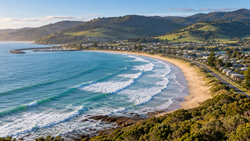
Geelong is Victoria’s second-largest city and a gateway to the Bellarine Peninsula. Together, they form the Geelong and the Bellarine tourism region. Along the Great Ocean Road, Lorne and Apollo Bay are popular coastal bases, while Warrnambool is a major centre at the route’s western end.
Inland, Ballarat and Bendigo are the main cities in the Goldfields region. Horsham is a regional centre for the Grampians and provides access to Grampians National Park and nearby towns.
Northern Victoria
Shepparton is a key city in The Goulburn region. The Murray follows a long stretch of Victoria’s northern border along the Murray River, and Mildura is one of its major regional cities. River landscapes, irrigated farmland and food-producing communities shape both regions.
High Country and Gippsland
The High Country covers Victoria’s mountainous north-east. Wangaratta and Wodonga are regional centres, while Bright is a smaller town and a base for alpine and valley destinations.
Gippsland extends across eastern Victoria, from inland districts to the coast. Traralgon and Sale are major inland centres, while Lakes Entrance is a well-known coastal destination. Travel distances are substantial in both Gippsland and the High Country, so choose accommodation near the places you plan to visit.
Getting around Victoria
Melbourne’s public transport network includes trains, trams and buses. Plan city and suburban trips with the official Melbourne network maps.
Beyond Melbourne, V/Line runs regional trains and coaches, with connecting bus services to many Victorian towns and cities. Services are less frequent outside larger regional centres, and local transport options vary by destination. Check the regional network maps before travelling to confirm the full connection.
Major roads link Melbourne with regional Victoria. The Hume Freeway runs north-east towards Albury-Wodonga and north-east Victoria. The Princes Highway runs east and west from Melbourne, the Western Highway serves western Victoria, and the Calder Freeway connects Melbourne with the north-west.
Public transport works well for travel between Melbourne and major regional centres. Driving is more practical for coastal towns, alpine areas and rural attractions beyond rail and coach routes, especially when visiting several places on one trip.
Attractions by region
Choose a base near the attractions you want to visit. Melbourne suits visitors interested in museums, galleries and cultural precincts. Outside the city, Victoria offers coastlines, wildlife, wineries, mountain walks and historic towns.
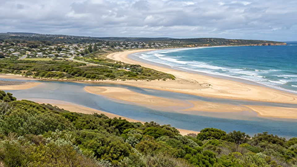
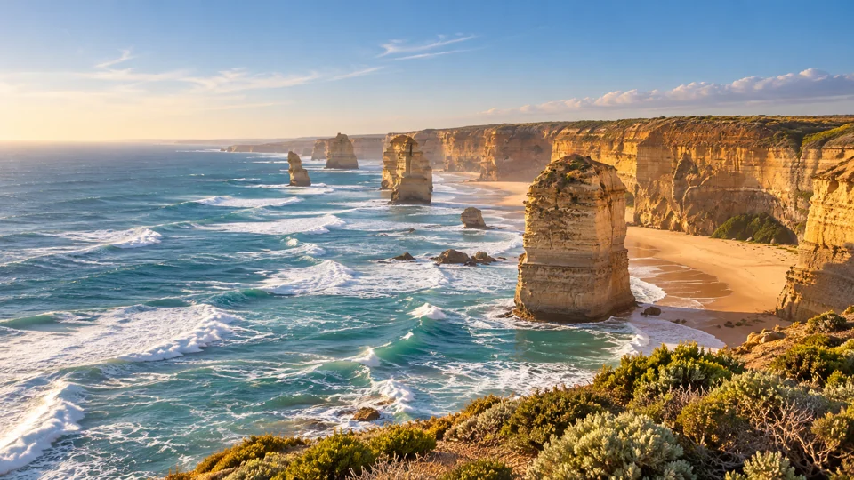
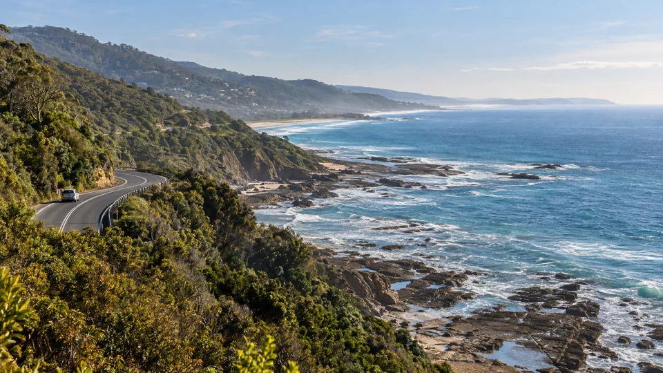
The Great Ocean Road runs for more than 240 kilometres along Victoria’s southern coast. The Twelve Apostles and Great Otway National Park are among the major stops, alongside Lorne and Apollo Bay. The route combines ocean lookouts, beaches, rainforest and walking tracks, with long distances between some stops. Visit Victoria’s regional overview maps the route and surrounding areas.
The Yarra Valley is known for wineries, cellar doors and local produce. The Grampians are known for mountain scenery, lookouts and bushwalking. Ballarat combines gold-rush heritage with city attractions, including Grainery Lane.
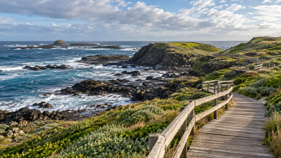
Phillip Island is known for penguin viewing. Near Melbourne, Dandenong Ranges National Park has forest walks, while the Two Bays Walking Track on the Mornington Peninsula passes through coastal and bushland country between Dromana and Cape Schanck. Visit Victoria’s discovery map helps locate these destinations.
The High Country has alpine scenery, mountain towns and outdoor activities. Gippsland has beaches, lakes and forests, as well as rural towns. The Goldfields centres on historic settlements and gold-rush heritage, while The Murray follows the river through northern Victorian towns. Check VicTraffic, Parks Victoria’s park conditions and alerts and the Bureau of Meteorology for current conditions before visiting coastal areas or walking tracks.